
The loss of biodiversity on the planet is so great that many people have considered it the sixth mass extinction.* There is a demand for conservation assessments to protect the most vulnerable species, but the rate of habitat loss means that this has to be done rapidly, lest a species in need become extinct before it is assessed. Taylor AuBuchon-Elder and colleagues present a novel approach to assessing the extinction risk of plant species, using The Red List’s criterion B (Geographic Range Size) and automated assessment tools such as ConR and GeoCAT. Their paper, in Plants People Planet, highlights some of the problems biologists face before rapid digital triage of vulnerable species can happen.
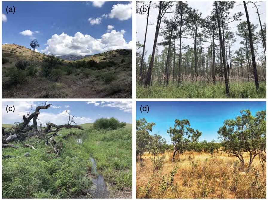
The authors focus on one particular tribe of grasses called Andropogoneae, which includes maize, sorghum, sugarcane and their wild relatives. The authors used georeferenced occurrence data from Botanical Information & Ecology Network (BIEN), an online biodiversity database containing information about plants worldwide. They then ran individual assessments for each species in this group with two software programs – ConR & GeoCAT – both recommended by IUCN’s Red List criteria for conservation status determination. This allowed them to quickly assess 1100 members of Andropogoneae without needing extensive expertise or resources usually required when manually conducting these types of studies.
One of their key findings is that more than 50% of species lacked sufficient digitized information for accurate assessment. This problem highlights the importance of increasing digitalization efforts before conservation workers can use rapid assessment tools in future research projects. The payoff for such a project is that the method appears to work. Results showed agreement between both analytical methods regarding least concern (>90%) or possibly threatened (<10%). Crop wild relative results were similar too, indicating automating assessments with ConR could be a viable strategy in the future if we want to speed up our understanding/assessment process so biologists can take action sooner rather than later.
Another problem that AuBuchon-Elder and colleagues uncovered was the organization of the data they had. A mountain of data is only good if it has been appropriately catalogued before starting. In their article, they write:
Reconciliation of names and synonyms was the most time-consuming step of the process used here. More robust tools for automated retrieval of currently accepted taxonomy will directly benefit rapid conservation assessment. Taxonomic irregularities are inevitable in any large clade and need to be addressed, particularly for apparently rare species that may be masquerading under misapplied (or simply misspelled) names. The TNRS (Boyle et al., 2013) is a big step forward toward automation, although the most recent update was released after we had largely completed the taxonomic component of this project. BIEN R itself clears up some taxonomic errors but still requires additional checks for taxa that have multiple names in common use. We note that preliminary conservation assessment relies on good taxonomy but can proceed even while species limits are being reconsidered.
AuBuchon-Elder et al. 2023.
Despite these problems, the botanists have shown that automated assessment tools such as ConR and GeoCAT can effectively provide preliminary conservation assessments of large plant groups, even when dealing with complex species like Andropogoneae grasses. If work can be directed towards improving access to the records we theoretically already have, then automated methods could help dramatically speed up interventions in conservation in the future.
READ THE ARTICLE
AuBuchon-Elder, T., Minx, P., Bookout, B. and Kellogg, E.A. (2023) “Plant conservation assessment at scale: Rapid triage of extinction risks,” Plants, People, Planet. Available at: https://doi.org/10.1002/ppp3.10355.
* Others argue it’s the seventh due to a recently discovered mass extinction dated to 260 Million Years Ago.